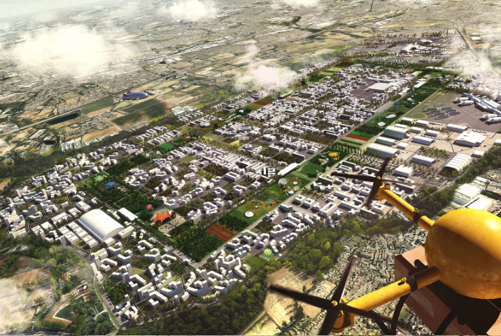
Our drone-powered land and property surveys deliver fast, precise, and highly detailed aerial data for real estate developers, landowners, architects, and construction teams. With high-resolution mapping, accurate boundary measurements, and 3D topographic models, we help you make informed decisions while reducing survey time and costs.
Get reliable insights without the need for manual ground surveying.
Land Surveying
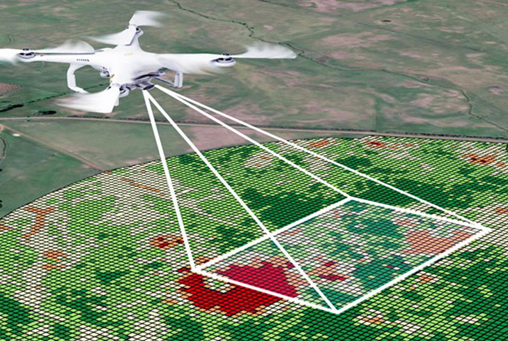
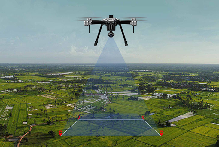
Obtain highly accurate aerial land measurements with advanced drone mapping technology. Our surveys provide detailed topographic data, boundary outlines, contour maps, and elevation models—delivered faster and with greater precision than traditional ground surveying.
Land Management & Development
Make smarter development decisions with comprehensive aerial insights. We help planners, builders, and landowners assess terrain conditions, identify usable areas, monitor progress, and support long-term land-use strategies with reliable drone data.
Stockpile Volumetric Measurements
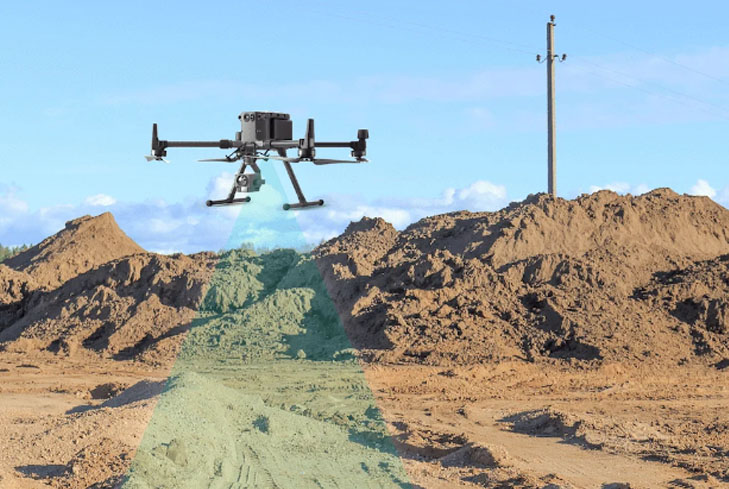
Measure stockpile volumes with exceptional accuracy using drone-based 3D models. Our volumetric analysis eliminates guesswork, reduces manual labor, and ensures transparent, consistent reporting for mining, construction, and material management operations.
Slope Monitoring
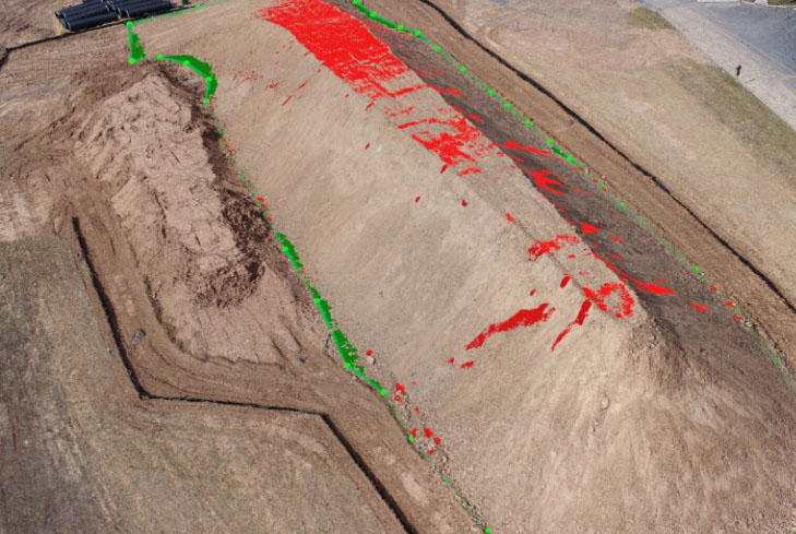
Monitor slopes, embankments, and unstable terrains safely and efficiently. Our drones capture high-resolution imagery to detect shifts, erosion patterns, and structural risks—helping prevent accidents and ensuring ongoing site safety.
Urban Planning
Support smart city development with precise aerial mapping and 3D modeling. Our drone surveys provide planners with detailed spatial data, infrastructure insights, land-use maps, and visual analytics for efficient zoning, layout design, and future expansion planning.
Why Choose Us?
01
High-Precision Aerial Mapping
We use advanced drone technology to deliver highly accurate land measurements, 3D models, and boundary mapping that you can rely on for planning and documentation.
02
Faster & Cost-Effective Surveys
Our drone surveys cover large areas quickly, reducing traditional surveying time, manpower, and overall project costs—without compromising accuracy.
03
Safe & Non-Invasive Data Collection
We capture all data from the air, eliminating the need to enter difficult, risky, or inaccessible locations, ensuring safe and uninterrupted operations.
04
Comprehensive Reporting & Insights
Receive detailed maps, orthomosaics, contour reports, and elevation models that support decision-making for real estate, construction, planning, and land development.